
Finding Indian Trail Residents
Indian Trail residents appear in separate public systems, not in one official household roll. Indian Trail records work best when the strongest known detail is used first. An Indian Trail address is best checked in the county property system, then in the current map and town-jurisdiction tools. A known name may fit the state voter search, a deed index, a court case, or a historical directory, depending on the question and date. Keep each Indian Trail result in its proper lane. A property record identifies an assessed parcel and listed owners, while a voter result concerns registration and a directory entry records what was printed for a particular year.
Indian Trail is an incorporated town in Union County, but an Indian Trail mailing label or ZIP code does not prove that an address is inside the town. Use the county parcel record and municipal result before making a location claim. For a broader named-street walk, the Indian Trail street directory follows the address, parcel, map, and deed trail without presenting an address match as proof of occupancy.
- Enter a full Indian Trail address in the Union County property search to locate the parcel and its recorded assessment details.
- Open the same Indian Trail parcel in UC Atlas, then compare its map layers and address point with the current jurisdiction result.
- When an Indian Trail name is known, use the state voter lookup with the required name fields and an appropriate county filter.
- For an Indian Trail recorded-land question, use the listed owner name in the Register of Deeds grantor and grantee index.
- For an Indian Trail past household, compare dated Monroe and Union directory material with newspapers, deeds, or archival records.
Note: Write down the access date and the record date, because a current portal and an older printed entry answer different questions.
Indian Trail Resident Records Offices
In Indian Trail, Union County keeps most of the records that matter for an Indian Trail resident-record search. The Indian Trail Tax Assessor route supplies the address-to-parcel connection. The Indian Trail Register of Deeds route keeps recorded land instruments and plats. The Indian Trail elections route handles registration information and list requests. Indian Trail town departments add boundary, planning, development, archive, and public-record channels when a parcel has municipal context. Each office holds a different type of fact, so an Indian Trail match from one index should be checked against the right custodian rather than stretched into a general conclusion.
Indian Trail Register of Deeds Route
500 N Main Street, Suite 239
Monroe, NC 28112
704-283-3843
Indian Trail Tax Assessor Route
500 N Main Street, Suite 236
Monroe, NC 28111
704-283-3746
Indian Trail Elections Route
316-B E Windsor Street
Monroe, NC 28112
704-283-3809
The Indian Trail Register of Deeds route also offers a counter, mail, and copy-request route if its current online deed destination cannot be confirmed. The Town of Indian Trail accepts requests for existing town records, but it need not create a new compilation or release confidential material.
Indian Trail Property Records by Address
The Union County Property Tax Inquiry is the practical first stop for a current Indian Trail address. Its public search accepts Property Number, Owner Name, or Address. The inspected result controls include parcel, address, and owner modes, and the export can contain Parcel ID, Address, Owners, and Market Value. An Indian Trail property card may show a physical address, legal description, property use, assessment values, sales, value history, and permit entries. Those fields help anchor an Indian Trail street search to a specific parcel.
| Property-search field | How it is used | What the result can provide |
|---|---|---|
| Property Number | Find one identified Indian Trail parcel | Parcel card and associated assessment fields |
| Owner Name | Find Indian Trail assessed parcels under a listed owner | Parcel, address, owners, and market value |
| Address | Begin with a full Indian Trail street address | Parcel match, legal description, sales, and permits |
| Advanced Search | Refine an Indian Trail property inquiry | Available controls can change in the live portal |
The Indian Trail card is public-service information, not a certification that taxes are paid or due, and it can omit discovery or deferral details. Most importantly, an Indian Trail owner field is an assessed property interest. It does not establish who currently lives there. Use the record date and source label when saving an Indian Trail record lead.
UC Atlas and Indian Trail Parcels
Union County GIS and Mapping directs Indian Trail users to UC Atlas for the spatial check after a property result. The current viewer combines Indian Trail parcel boundaries, address points, zoning, roads, utilities, infrastructure, FEMA layers, reporting, map generation, and analysis. It replaced the retired GoMAPS system and launched in its current form on July 21, 2025. The map helps distinguish an Indian Trail parcel from its neighboring geometry, but it is not a legal survey or a legal parcel description.
The Town of Indian Trail service and records home is shown below as an Indian Trail municipal-resource reference.
Indian Trail map evidence should be paired with the recorded deed or plat when a boundary, easement, or title question matters. Indian Trail parcel edits can appear online within about a day, address points update daily and appear online the next day, zoning generally updates within a week, and FEMA layers may follow a different cadence. Those separate schedules explain why one Indian Trail record may refresh before another.
Current Indian Trail Resident Directories
A current Indian Trail directory search works best as a source comparison. The Indian Trail property portal supplies owner and parcel information. The Indian Trail voter route can confirm public registration information within its statutory limits. Indian Trail land indexes identify parties to instruments. Town project materials and permits can document an Indian Trail property or planning event, but an applicant or contractor is not automatically an owner or resident. No complete municipal Indian Trail household directory or public HOA member list was located.
| Indian Trail source | What it records | Custodian | Access route |
|---|---|---|---|
| Indian Trail Property Tax Inquiry | Indian Trail assessed parcel and listed owner fields | Union County Tax Assessor | Public Indian Trail address, owner, or property-number search |
| Indian Trail NC Voter Lookup | Indian Trail registration status and related election details | NC State Board of Elections | Individual public name search |
| Indian Trail voter list request | Statutorily allowed county or category list | Union County Board of Elections | Written request under G.S. 163-82.10 |
| Indian Trail Land Records | Parties to Indian Trail deeds and plats | Union County Register of Deeds | Name index, office, or mail/copy route |
| Indian Trail planning material | Indian Trail project, boundary, and development context | Town of Indian Trail | Maps, existing records, or public request |
Official records are preferable to a commercial lookup category because the custodian, date, scope, and access limits are visible. Commercial summaries can be stale, merge different people, or hide their source dates. The free official route may take more careful comparison, but it lets a reader verify a result at the office that created it.
Indian Trail Voter Records and Lists
The NC Voter Lookup is the individual registration route for Indian Trail and the rest of North Carolina. It requires a first name and last name. An Indian Trail middle initial, year of birth, and county filter can narrow a search, while the status selection includes Registered, Removed, and Denied. Results can provide Indian Trail registration status and, when available, jurisdiction, precinct, polling-place, sample-ballot, or absentee information. It is not a general household confirmation tool.
Union County Elections supplies local registration and information-request channels for Indian Trail research.
North Carolina G.S. 163-82.10 permits Indian Trail county voter lists and reasonable category requests, but it excludes sensitive fields. Indian Trail dates of birth, Social Security information, driver-license information, email, photographs, identification copies, and copied or traced signatures have protections. State registration files are updated weekly and voter history does not reveal ballot choices.
Note: A voter result concerns registration information and should not be treated as proof of present physical presence at an address.
Indian Trail Court and Vital Limits
The NC eCourts Portal is a statewide starting point for Indian Trail public case information. It handles party or case-number searches and can show a near-real-time case summary, events, dispositions, hearings, and other Indian Trail public case data. Sealed, confidential, sensitive, victim, and some protective-order information is excluded. A courthouse public-access computer and the Clerk of Superior Court remain the Indian Trail access alternatives when a certified search or a fuller court-file check is needed.
The eCourts entry page is pictured here as an Indian Trail court-resource reference.
Indian Trail birth, death, marriage, and divorce records follow a separate, eligibility-controlled path. Union County and NC Vital Records accept appropriate requests, but there is no open vital-record name database. State research windows and certified-copy eligibility depend on record type, date, relationship, legal right, or authorized representation.
The state order page is shown below for Indian Trail readers who need the official request channel.
Older records may instead route to the county Register of Deeds, Clerk, or State Archives. A vital request should be used for the lawful record purpose and never as an open-ended search for private information.
Indian Trail Postal and Town Boundaries
Indian Trail postal geography deserves a separate check in every directory result. ZIP 28079 is the primary Indian Trail postal ZIP, yet USPS postal city labels and processing geography do not set corporate limits. Official local material also shows Indian Trail-area addresses using 28104 and 28110. Those examples are useful warnings, not proof that every address with one of those ZIPs lies in the town.
Use the Determine Your Municipality form with either a street address or parcel ID after the parcel search. It returns a municipality label and is more reliable for jurisdiction than a mailing label. The Town of Indian Trail's boundary and zoning maps add context, but the recorded deed, plat, and planning office are the appropriate final channels where a line matters.
- Parcel
- A county-tracked piece of land identified in the assessment and map systems.
- Index
- A search aid that points to a record, not necessarily the complete record image or a final conclusion.
- Roll
- A list kept for a specific public purpose, such as assessment or voter registration.
- Criss-cross directory
- A historical directory arranged by address rather than by surname, when a volume provides that format.
Privacy in Indian Trail Records
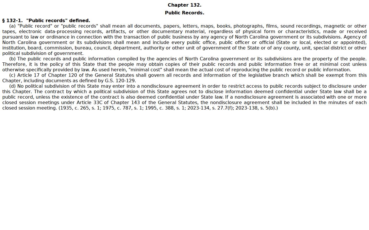
North Carolina Public Records Law, Chapter 132, opens many government records for inspection and copying, but it also has specific confidentiality rules. G.S. 132-6.2 does not require an agency to create a new record or compile a custom resident list. G.S. 132-1.10 provides a no-fee written route to request redaction of Social Security numbers and certain personal information from public registers and clerk websites. The request identifies the record and its location and can be delivered by mail, fax, electronic transmission, or in person.
North Carolina's public-records statute is the reference point shown below for Indian Trail public-record access and limits.
The NC Address Confidentiality Program can protect an eligible Indian Trail survivor's real address through a substitute address. Protected Indian Trail addresses, full birth dates, identification numbers, voter signatures, victim details, and unnecessary contact information should not be republished or assembled into a profile.
Historical Indian Trail Resident Directories
There is no located complete historical Indian Trail directory run. The closest identified published shelf is the Monroe and Union-area material held digitally by DigitalNC and supported locally by the Union County Public Library's Dickerson Genealogy & Local History Room. A historical entry can supply a surname, initials, spouse notation, printed occupation, home marker, address, or business clue. It remains a dated publication, not a current resident claim or a statement of ownership.
For an Indian Trail household trail, record the volume year, page, exact printed wording, and abbreviation key. Then compare that Indian Trail clue with a deed, newspaper item, obituary, plat, or archival source. The full collection and entry-reading method belong in the Indian Trail city directory collections, where the Monroe-centered coverage and gaps are set out without treating it as a modern Indian Trail list.
Indian Trail Monroe Directory Years
DigitalNC's Monroe directory collection currently identifies runs for 1922-23, 1942-43, 1951-52, 1955-56, 1958-59, 1960-61, and 1962-63. The gap between those years matters. A name missing from one volume may have been omitted, may have changed address, or may simply fall between available publications. Indian Trail's railroad-era and county history can also appear under Monroe, rural-delivery routes, crossroads, or road names that do not match a modern street number.
The Dickerson Room at the Main Library in Monroe is the local fallback for Indian Trail genealogy books, newspapers, obituaries, photos, and database help. Its local-history route is stronger than guessing from an incomplete online shelf. The State Archives offers further Indian Trail and Union County records and a specific-request process when county, year, record type, and name can be stated.
Indian Trail Deed Scam Check
On July 9, 2024, the Union County Register of Deeds warned residents about letters demanding payment for deed information or property documents. The county said deed information online is free and paper copies are nominal, and it advised callers to verify a demand with the Register of Deeds at 704-283-3843. That warning is useful whenever an Indian Trail address search leads from a parcel card to a deed or plat.
Use the official county link or contact the office before entering payment information. The county's deed-scam warning documents the issue. If the online deed destination is unavailable, use the official Land Records page, the Monroe counter, or the mail/copy route rather than substituting an unverified source.
Indian Trail Records Request Options
When an Indian Trail online result is incomplete, ask for an existing, identifiable record from the office that maintains it. Indian Trail says town public-record requests are routed through the Town Clerk and Communications Director. The Indian Trail town generally responds within ten days, usually provides ordinary electronic delivery without charge, and can assess a special charge after four hours of clerical or information-technology work. It may redact confidential material and does not have to create a custom report.
For Indian Trail county material, use the relevant custodian: the Assessor for a property card, GIS for map questions, the Register of Deeds for land records, the Board of Elections for voter-list procedure, or the Clerk for court matters. A focused Indian Trail request that states the address, parcel, document type, date range, and county is more likely to reach an existing record than a request for every person connected with a street.
Note: Preserve the office response with the search terms and record scope, especially when a portal does not show a complete historical record.