
Indian Trail Neighbor Sources
For Indian Trail neighbors, start with the public source that can answer the block question. UC Atlas can display parcel geometry and identify parcel IDs, addresses, zoning, and assessment-linked information. The property card can then be opened separately. The Town's subdivision and development maps add official geography. Recorded plats and covenants are at the Register of Deeds when legal parcel or restriction details matter. Each source describes a record purpose, not a confirmed household roster.
| Source | What It Shows About a Block | Access |
|---|---|---|
| Indian Trail UC Atlas | Indian Trail parcel boundaries, address, parcel ID, zoning, and map-linked context | Indian Trail public map and identify tool |
| Indian Trail Property Tax Inquiry | Indian Trail parcel card, recorded owner, assessment-linked details, sales, and permits | Indian Trail public portal |
| Indian Trail Register of Deeds Land Records | Indian Trail recorded plats, deeds, and CCRs when indexed or available at the office | Indian Trail land-record route and counter fallback |
| Indian Trail subdivision map | Indian Trail named subdivision placement and map navigation | Indian Trail public municipal map |
| Indian Trail Development Projects map | Indian Trail nearby project address, type, name, place, status, and planning material | Indian Trail public town map |
Nearby Indian Trail parcels can be adjacent without being close friends, shared-household members, or even occupants. The Indian Trail parcel-card owner field is a recorded property interest. It is not proof that the named person lives there now. Keep that Indian Trail label intact when comparing Indian Trail map and property information.
Indian Trail Neighbor Parcel Identify
UC Atlas is Union County's current map viewer after the county launched it in July 2025 following the retirement of the former GoMAPS platform. For an Indian Trail address, search the target parcel, turn on the parcel layer as needed, and use identify on each touching shape. The map can expose the geometry, parcel ID, address, zoning, and assessment-linked information. Record the parcel ID for every neighboring parcel, then open each card independently rather than relying on a crowded map label.
UC Atlas is useful for a current, practical block view, but its own mapping limits matter. Parcel edits can appear online within about a day, address points daily or the next day, zoning within about a week, and download files monthly. FEMA layers can lag. Different update schedules can make one Indian Trail neighbor source appear newer than another without proving that either record is wrong.
Note: UC Atlas is a map-quality source, not a legal survey or a substitute for a recorded plat and survey.
Map Indian Trail Neighbor Parcels
The reliable Indian Trail parcel method moves from one official Indian Trail address to the immediate parcels around it. It does not ask the Indian Trail map to identify private households. First locate the target. Next identify every parcel that visibly touches it. Then record Indian Trail identifiers and open each property card one at a time. If the edge itself has legal importance, stop at the Indian Trail map and move to the recorded plat or a survey.
- Search the Indian Trail target address or parcel in UC Atlas and confirm its shape and address label.
- Use Indian Trail identify on each parcel that appears to touch the target, then note its parcel ID.
- Open each Indian Trail parcel separately in Union County Property Tax Inquiry and retain the recorded fields as shown.
- For an Indian Trail boundary question, locate the recorded plat or deed reference through the Union County Register of Deeds.
- Use the town map only to add zoning, subdivision, or planning context to the Indian Trail block.
Process flow: target address → UC Atlas identify → touching parcel IDs → separate property cards → recorded plat or deed when the boundary matters. For a full named-street record chain, use the Indian Trail By Street directory.
Indian Trail Neighbor Boundary Proof
A visible map touch is evidence for research, not proof of legal adjacency, title, or a surveyed line. The Union County Register of Deeds Land Records route is where recorded deeds, plats, and covenants are handled. The online deed index is name-based, and the research run did not obtain a usable live result from its older linked host. The office and copy-request channels remain the fallback when the online route does not answer the question.
Read a plat with its recording reference, lot boundaries, easements, roads, and any relevant recorded restrictions. A deed party can be a trustee, estate representative, lender, corporation, attorney-in-fact, or former adjacent owner. That is why an appearance in a land record must not be silently re-labeled as an Indian Trail neighbor or current resident. Legal boundary questions may require a survey professional and the applicable recorded instruments.
Indian Trail Neighbor Map Context
Named subdivisions can help orient an Indian Trail subdivision search, but they are an Indian Trail map-navigation layer rather than a member directory. The Town's residential subdivision map includes Crismark, Beacon Hills, Hemby Acres, Hemby Commons, Bent Creek, Emerald Woods, Fieldstone Farm, Annandale, Bonterra, Southgate, Brookstone, Green Meadows, Rosemary Park, and Crowell Park, among others. An Indian Trail property-card neighborhood field, a tax district, a map label, and an association name can differ. Preserve each Indian Trail label with its source instead of forcing them into one presumed neighborhood.
| Indian Trail map layer | Careful use |
|---|---|
| Indian Trail subdivision map name | Navigate the Indian Trail town map and compare a parcel's mapped placement |
| Indian Trail property-card neighborhood | Record the Indian Trail assessor field without assuming it matches a subdivision name |
| Indian Trail recorded CCRs | Check Indian Trail covenants or restrictions through the Register of Deeds if filed |
| Indian Trail HOA administrative contact | Use only as an Indian Trail coordination channel, not as a member or resident list |
The Town's About Our Town information describes its request for new or changed HOA contacts.
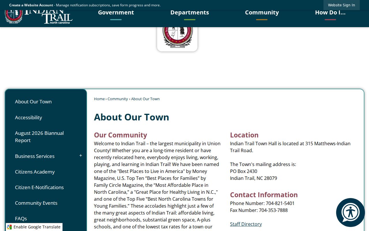
The town practice helps maintain administrative contacts, but no public member directory or complete HOA contact roster was located.
Indian Trail Neighbors and Projects
The Town Development Projects map adds a nearby Indian Trail planning layer for nearby parcels. It can be searched by Indian Trail address, project type, project name, and place, with status filters for Proposed, Town Council Approved, Under Review, Completed, and Denied or Withdrawn. An Indian Trail project page may have an address, project or parcel identifier, planning status, and public documents. Search the exact target street or parcel before connecting a project to a block.
An Indian Trail applicant, contractor, architect, or recorded property owner is a separate role from an occupant. An Indian Trail planning status is also not a statement that construction is complete or that anyone resides there. This map is best used to understand a public project near a parcel, not to expand an Indian Trail parcel record into a personal profile.
Indian Trail Neighbor Record Choices
Official Indian Trail records and commercial neighborhood tools serve different purposes. The Indian Trail official route shows the source, custodian, record type, and limits. A commercial category may combine Indian Trail data from many sources, but a combined display can hide dates, custodians, and missing privacy rules. For nearby Indian Trail parcels, go back to the parcel map, property card, plat, and town map rather than treating an assembled result as a definitive account.
| Official block records | Commercial neighborhood tools | Practical limit |
|---|---|---|
| Indian Trail parcel, plat, zoning, planning, and recorded-property sources with named custodians | Indian Trail combined information from varying sources and dates | Neither Indian Trail category proves current residence or personal relationship |
| Indian Trail source-specific fields and update practices | Indian Trail presentation and source timing may be unclear | Compare Indian Trail records only for their stated purpose |
| Indian Trail privacy and confidentiality limits apply at the custodian | Indian Trail tools may not explain why a field is absent or old | Do not attempt to fill Indian Trail protected gaps |
The county's Indian Trail new-address request is another distinct channel. The Union County new or changed address form is an Indian Trail application that requires contact and parcel information. It is not an Indian Trail map search and should not be submitted merely to inspect nearby parcels.
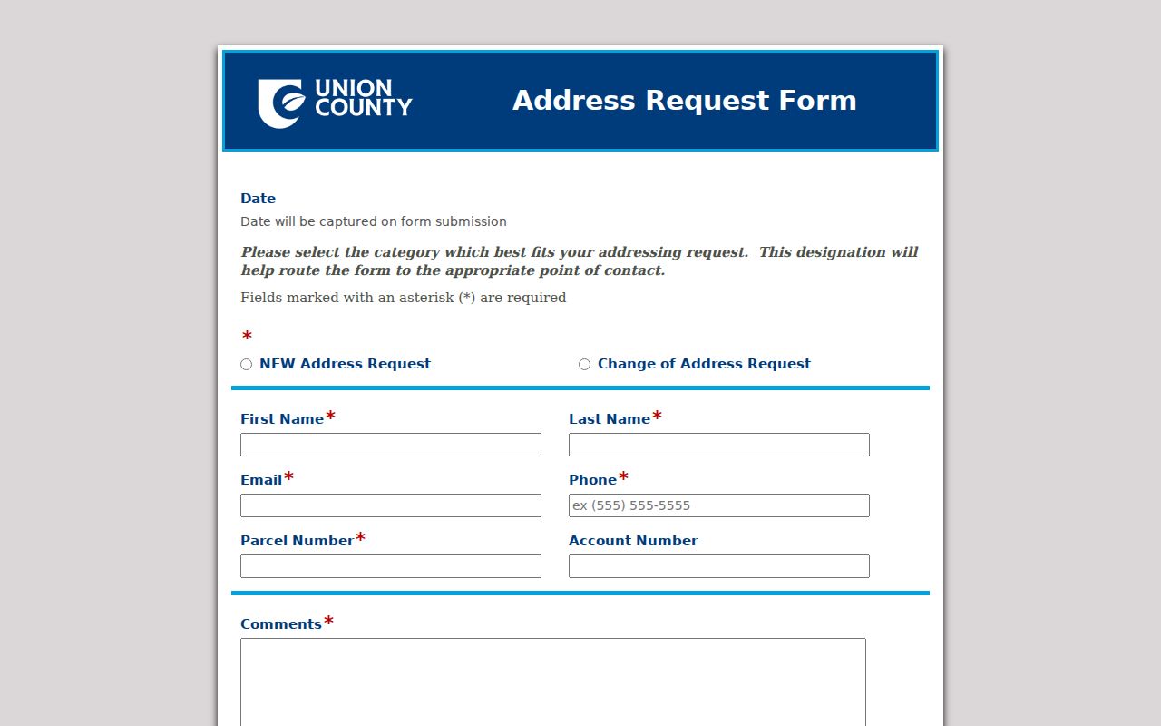
The form supports address assignment or change requests, while UC Atlas remains the public parcel-identify route.
Indian Trail Neighbor Privacy Limits
North Carolina public access has record-specific limits. Voter information has confidential fields, and G.S. 163-82.10 restricts date of birth, Social Security numbers, driver-license information, copied signatures, and other protected data in voter lists. The Address Confidentiality Program protects eligible survivors through an address substitute. A protected address, confidential record, or missing field should remain protected, not be reconstructed from other sources.
North Carolina Public Records Law, Chapter 132, allows access to many existing agency records but does not require a town or county to create a new neighbor list. Under G.S. 132-1.10, a person may seek no-fee redaction of qualifying Social Security or personal information from public registers or clerk websites through a signed written request. Parcel disclosure is not a license to republish personal details or infer who shares a home.
Note: The clearest result is often a carefully labeled parcel relationship, not a claim about who lives nearby.