
Indian Trail Previous Residents by Era
Historical address research is reconstruction, not a live reverse-address service. The right first source changes with the era. Start with the present parcel and legal description when the address is modern, then move back through recorded instruments, dated tax material, newspapers, and local-history collections. A record can name an owner, party, business, or official contact without establishing who actually lived there.
| Source | Years It Covers | Where Held | What It Shows |
|---|---|---|---|
| FamilySearch deed microfilm and county or Archives land records | 1840s-1880s | FamilySearch and North Carolina Archives | Grantor and grantee, book and page, legal description, heirs, and estate clues |
| Deeds, tax, newspapers, and family or Bible records | 1890s-1913 | County records, library, and Archives | Rural routes, farms, mills, delayed vital clues, and property trail |
| Monroe directories, newspapers, deeds, vital records, and Sanborn where mapped | 1913-1930s | DigitalNC, library, county, and state sources | Dated home or business wording, spouse and employer clues, streets, and cross-streets |
| DigitalNC directories, newspapers, deeds, tax cards, and Archives records | 1940s-1960s | DigitalNC, Dickerson Room, county, and Archives | Addresses, family notation, civic notices, and subdivision growth |
| Deed, tax, permit, annexation, and planning material | 1970s-1990s | County and town records | Recorded ownership, development, rezoning, and subdivision context |
| Assessor, UC Atlas, permits, town projects, deeds, voter, and court portals | 2000s-present | Official county, town, and state channels | Parcel, current owner record, permits, and project or case records; occupancy remains unproven |
Set the era before searching. A 1960 directory line and a current property card answer different questions, even when an old road name resembles a modern Indian Trail address.
Indian Trail address history changes shape as the record era changes. Indian Trail researchers should choose the dated source before they try to connect a name to the property.
Indian Trail history needs a date for every claim. An Indian Trail address can have one record trail before incorporation and another after a subdivision or road change.
Indian Trail records must be read in their own era. Indian Trail land, Indian Trail town, and Union County records can use different place wording for the same area.
Indian Trail research needs the Indian Trail date, Indian Trail road wording, and Indian Trail source type together before a historical conclusion is made.
Indian Trail Previous Residents: Start Here
For an address that exists today, open the Union County Property Tax Inquiry first. It accepts a property number, owner name, or address. Its card can show the physical address, parcel number, property use, neighborhood, township, tax district, legal description, values, sales, building details, value history, and permits. Use the current owner, parcel number, and legal description as search keys, not as proof that a named owner resides there.
Next, compare the parcel in UC Atlas and use the county's Determine Your Municipality form when the town boundary matters. UC Atlas is useful for parcel geometry, address points, roads, zoning, utilities, and other layers, but it is informational and not a legal survey. A postal city or ZIP label does not prove Indian Trail corporate jurisdiction.
Note: Preserve the assessment year and portal date because assessor, map, deed, permit, and project records can change on different schedules.
An Indian Trail parcel gives the historical search a stable starting point. Indian Trail maps then help place that parcel among roads and changing town boundaries.
Indian Trail property cards carry assessment information. Indian Trail parcel and map data help orient an Indian Trail search without proving a household connection.
Indian Trail parcel records, Indian Trail boundaries, and Indian Trail address points are separate map details. Each Indian Trail detail has a different update history.
Indian Trail Deed Index Rules
The Union County Register of Deeds Land Records route is name-based. The county directs address searches to the Tax Assessor, then expects the researcher to use a current or historical owner name in the grantor and grantee index. The official page describes deeds and plats, not mortgage information. Liens, mechanics liens, and judgments belong with the Clerk of Court rather than the deed index.
During research, the official online deed link redirected to an older host that could not be opened. Treat current portal availability and its fields as unverified. The fallback is the Register of Deeds land-records office at 500 N Main Street, Suite 239, Monroe, NC 28112, phone 704-283-3843, with its office, mail, and copy-request channels. Recording hours are Monday through Friday, 8 to 5. The county's mailing address is PO Box 248, Monroe, NC 28111.
The official deed-lookup link state illustrates the access gap. Do not substitute an unverified third-party source when the county portal is unavailable.
Indian Trail deed research therefore has a clear counter and mail fallback. Indian Trail history should not depend on an uninspected online result.
Indian Trail researchers can call the Monroe office for a specific recorded instrument. Indian Trail land work is stronger when the Indian Trail parcel clue and party name are both retained.
Indian Trail recorded instruments, Indian Trail party names, and Indian Trail legal descriptions should be copied exactly from the county source.
Tracing Indian Trail Past Residents by Deed
A deed chain follows legal transfers, not a roster of earlier households. Begin with the property card, then work from the recorded buyer back to the seller's earlier purchase. Record both the recording date and execution date when available. Capture the instrument type, book and page, legal description, parcel reference, plat name, and every named party. An estate, trustee, lender, business, or attorney can be a deed party without being a resident.
- Use the current property card to record the owner name, parcel number, legal description, and any sale document or book and page.
- Search the owner as a grantee in the Register of Deeds index to find the acquisition instrument and its seller.
- Search that seller as a grantee to locate the earlier acquisition, then repeat the same backward sequence.
- For each instrument, keep the dates, type, book and page, legal description, plat, and exact party names in a dated log.
- When the online route ends or remains inaccessible, request the specific older record from the Monroe office, FamilySearch, or the Archives.
- Grantor
- The party conveying an interest in a recorded instrument.
- Grantee
- The party receiving that interest. A grantee is not automatically an occupant.
- Chain of title
- The sequence of recorded property transfers used to trace legal interests backward.
- Legal description
- The lot, plat, metes-and-bounds, or other formal land description. It often survives address changes better than a street number.
Indian Trail property history is most reliable when every link in the sequence uses the same legal description. Indian Trail researchers should flag a changed road name instead of assuming a match.
Indian Trail deed notes should state whether a party is a person, estate, trustee, lender, business, or attorney. Indian Trail title research remains distinct from an Indian Trail household history.
Indian Trail deeds can connect a legal description to a transfer. An Indian Trail recorded party should be described only in the role the Indian Trail instrument gives.
Indian Trail grantor and grantee notes are legal-role notes. Indian Trail researchers should not turn an Indian Trail conveyance into a claim about a household.
Indian Trail Previous Residents in Directories
The nearest digitized historical shelf is not a complete Indian Trail directory. Indian Trail city directory collections rely on Monroe and Union volumes in DigitalNC for 1922-23, 1942-43, 1951-52, 1955-56, 1958-59, 1960-61, and 1962-63. Search the surname and then the road or street wording. Record the volume year, printed page, exact text, abbreviation meaning, spouse notation, business or employer clue, and address before making a connection.
The samples use entries such as h for home and emp for an employer, along with names, initials, partnerships, phones, public institutions, and street or rural-route references. They do not supply a general owner or renter code. A dated directory is a clue that needs support from a newspaper, obituary, deed, tax card, plat, or other dated record. Do not treat a directory line as proof of past or present occupancy.
Use generic census material only as one corroborating layer where it fits the date and source. The research did not establish a census-based address method for Indian Trail, so a census mention should never replace the record trail.
Indian Trail directory work should preserve the printed page as well as the name. An Indian Trail road or route can be more useful than a later address number.
Indian Trail historical volumes can carry a Monroe or Union heading. Indian Trail users should keep that Indian Trail geographic limitation visible in the research log.
Indian Trail names, Indian Trail route wording, and Indian Trail page dates make it possible to compare one historical entry with another.
Indian Trail Archives for Past Homes
The North Carolina Archives county-records guide is the route for older Union County holdings. The Union County miscellaneous collection runs from 1844 through 1967, and county series can include land, court, estate, tax, marriage, election, naturalization, Bible, and other material. The Archives in Raleigh is open Tuesday through Friday, 9 to 5, and Saturday, 9 to 1. Bring photo ID and give advance notice for offsite items.
The Archives needs a specific request, not a broad family-history assignment. Give a name, year, county, and record type for an email or copy request. The FamilySearch Union County deed catalog lists nine microfilm reels for deeds from 1843 through 1883. Access can require a FamilySearch account or an affiliate library, so the catalog is a planning tool as well as a viewing route.
The county-records guide is a useful starting point when the Indian Trail address trail reaches older Union County material.
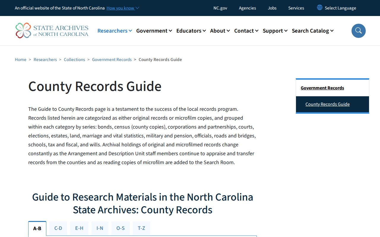
Archives records can add land, estate, tax, or court context. They still need a clear connection to the parcel or household under review.
Indian Trail researchers can use a specific Archives request to test one dated question at a time. Indian Trail research remains clearer when the county and record series are stated in the request.
Indian Trail archival material can offer land, tax, estate, or court context. Indian Trail researchers should describe the Indian Trail connection and the year in plain terms.
Indian Trail archive requests should use the Indian Trail name variant found in the document. That Indian Trail detail can prevent a search from missing a rural-era reference.
Indian Trail Archives searches should be narrow and reproducible. An Indian Trail name, Indian Trail road reference, and date make a better request than a broad family claim.
Indian Trail Old Roads and Past Homes
Historical address research can fail when a record uses a rural-delivery route, mill, crossroads, post-office label, or older subdivision description instead of a modern Indian Trail number. Compare the legal description and plat with road names, not just the number typed into a current map. Newspapers and local photographs can help locate a place in time, while deeds and plats provide the stronger land connection.
The Library of Congress Monroe May 1908 Sanborn map is building and street context only. It is not Indian Trail-specific and it is not a resident record. NC LIVE's Digital Sanborn material can be checked through library access, but no Indian Trail title was located in this research. Use a map to ask a better question about the building or road, not to name a prior household.
Note: Indian Trail incorporated in 1907 in a railroad setting, so town, road, railroad, Monroe, and Union County records can all matter in one address history.
Indian Trail maps are a geographic aid, not a substitute for an Indian Trail deed or dated household record.
Indian Trail road research often spans older routes and current map labels. An Indian Trail historic location must be tied back to an Indian Trail parcel or legal description where possible.
Indian Trail map context, Indian Trail plat references, and Indian Trail deed wording should agree before an earlier location is treated as the same place.
Indian Trail Deed Index Limits
The FamilySearch catalog provides an earlier-deed alternative when the modern index does not answer the question. The catalog's Union County deed volumes cover 1843-1859 and later portions through 1883. Pair a volume search with a known grantor, grantee, book and page, or legal-description clue from a later instrument. This keeps the historical search from becoming a broad name sweep.
The FamilySearch catalog documents the older Union County deed reels used for Indian Trail previous residents research.
If a reel is restricted online, ask the Dickerson Genealogy & Local History Room about library access or move to a specific Archives request. Preserve the same deed details across every access route.
Indian Trail historical research can move between a catalog, a library, and the Archives. Indian Trail deed notes should stay tied to the volume and page across those access routes.
Indian Trail microfilm work begins with a focused party or book clue. Indian Trail researchers can use an Indian Trail or Union County later record to find that clue.
Indian Trail Previous Residents and Deed Safety
On July 9, 2024, Union County warned residents about letters asking for payment for a deed or property document. The county said deed information online is free and paper copies are nominal, and it directed questions to the Register of Deeds at 704-283-3843. Verify an unsolicited letter or payment demand with the office before giving money or personal information.
Use the official county links and retain a record of the source page, document date, office, and result scope. That practice also helps distinguish a recorded fact from an assumption made later in an Indian Trail address history.
Indian Trail property researchers should call the Union County Register of Deeds before paying a deed-related invoice.
Indian Trail deed copies should come through an official Indian Trail or Union County channel. Indian Trail users should preserve the office contact with the document note.
Indian Trail safety begins with the official office. Indian Trail deed users can verify an Indian Trail payment question by phone before responding.
Indian Trail Previous Residents Need Corroboration
House history, family research, heir work, and property curiosity are legitimate reasons to trace a dated record. The conclusion should stay narrow: a deed names parties, a directory printed an entry, a newspaper reported an event, or an assessor card lists an owner. A record may be stale, incomplete, redacted, sealed, misindexed, or connected to a different Indian Trail or Union County geography.
Lawful use. Use Indian Trail previous residents research for personal, historical, or property-record questions. Do not use an address trail to stalk, harass, track, or harm any living person; protected addresses and confidential information must remain protected.
North Carolina's North Carolina Public Records Law (Chapter 132) concerns access to existing public records. It does not require an office to create a custom people list, and redaction rules can limit what is released. When sensitive public-register information needs protection, the state provides a written redaction path under G.S. 132-1.10.
Indian Trail historical research must respect the same limits whether it begins with an Indian Trail parcel, a deed, or an old directory entry.
Indian Trail research has limits even when a record is public. Indian Trail users should describe what an Indian Trail source actually says, rather than infer more from it.
Indian Trail findings remain dated and limited. Indian Trail users should keep each Indian Trail result connected to its source office and record type.